Virtual Events
8-8:55AM Tai Chi
8:30-9:30AM Virtual Power Training
10-10:55AM All Levels Yoga
3-5PM Hard Times Writing Workshop
5-6PM Arte de mi Corazón
Real World Events
7:30-9AM Citizen Budget Advisory Committee Meeting @ City Hall
Staff will provide an update on the CoorsTek project. The committee will review their Bylaws and how the City of Golden Citizen Assistance Grants were distributed during 2022.
9AM Golden Walks – Wednesday Morning Celebrating Life @ Golden Library
10AM and 1PM Wild West Story Tour
3-7PM Beer and Cupcake Pairing @ Golden City Brewery
6PM Pong Night @ Coda Brewing
6:30PM Planning Commission Study Session @ City Hall
Tonight’s consent agenda asks the Planning Commission ratify the Planning Director’s approval of two projects:
1035 7th Street (map) – adjustment of front and open side setback for a new proposed addition onto an existing home
1108 Miller Place (map) – new principal structure on the rear lot of Side Drive House Couple form type.

They will also consider an Application for Community Landmark Status for Maple, Illinois & Elm Streets to honor three Founding Mothers of Golden. Those three streets were originally named for pioneer-era women. When Golden renumbered its streets in 1904, the women’s names were replaced. Now local historian Richard Gardner, with support from Councilor Paul Haseman, is suggesting that those “founding mothers” be memorialized by adding secondary signs that acknowledge the original street names and the women they honored.

7PM Trivia Night @ Trailhead Taphouse
Live Music

6-9PM Dave Halchak @ Buffalo Rose (Sky Bar Stage)
6:30PM Open Jam/Mic at Over Yonder Brewing
Golden History Moment

61 Years Ago
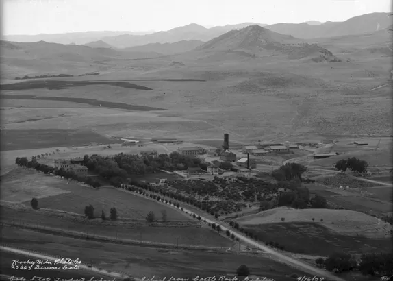
The August 17, 1961 Colorado Transcript announced that the Colorado School of Mines had acquired the clay pit area on the west side of the campus. The school intended to build student housing on that land.

The current Mines Master Plan calls for additional housing on that area:

Colorado School of Mines acquired the land in a three-way transaction with the Rubey Clay Co. and the A. P. Green Firebrick Co. of Mexico, Mo.
In the deal, the local clay-mining firm acquired title to about 35 acres of land around the hogback east of 6th Ave. and south of 19th St.
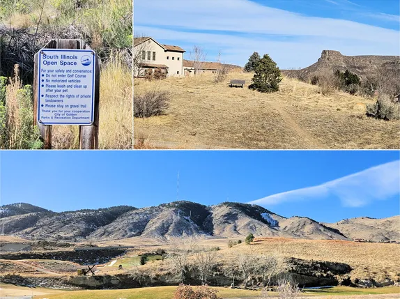
That property was mined for several decades and then turned over to the City, which turned it into a golf course.

Thanks to the Golden History Museum for providing the online cache of historic Transcripts, and to the Golden Transcript for documenting our history since 1866!

