By Bill Robie
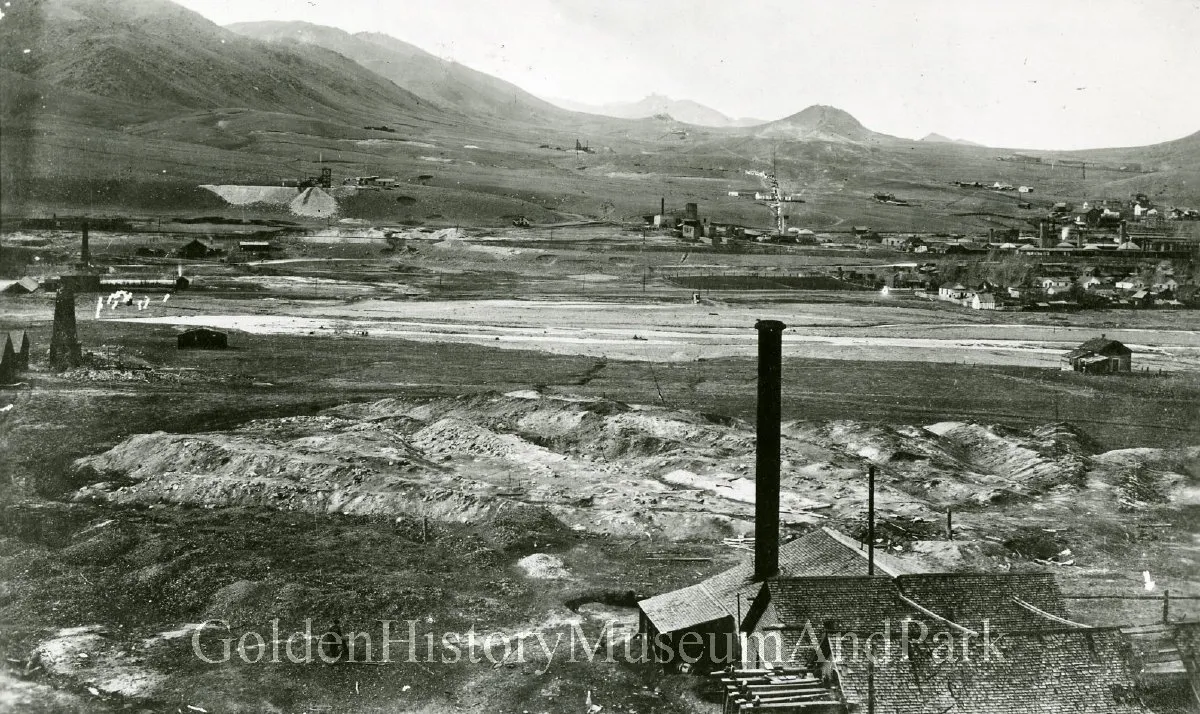
Have you ever wondered why the parks in Mountain Ridge are located where they are? First and final clue is the names of the two parks: New Loveland Mine and New White Ash Mine. Yes, the parks overlie old coal mines.
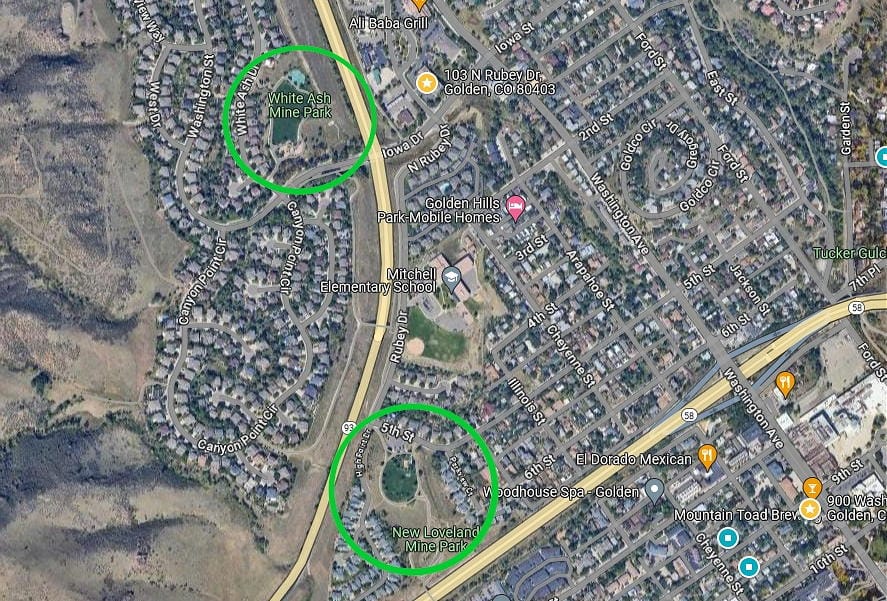
During a period about 64 to 45 million years ago during the Laramide Orogeny (period of mountain building). the Golden Fault cut through what is now the west side of Golden. The previously, mostly horizontal beds of sedimentary rock on the east side of the fault line were tipped to an inclined position like the sandstone rocks at Red Rocks. In the area of Mountain Ridge, along the segment of the fault’s greatest impact, the sedimentary beds were inclined to near vertical, and in some locations even overturned to past vertical.
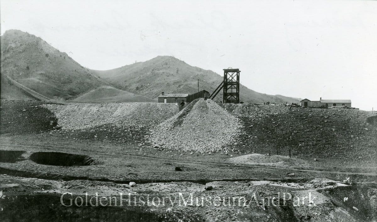
The Laramie section of the sedimentary rocks east of the fault contained a 4’ to 15’ wide vertical seam of coal. In 1890, miners began to exploit this resource below the two parks. Both mines were replacements for their former locations close to and on either side of Clear Creek. On September 9, 1889, operations in the original White Ash Mine got to close to the previously flooded and abandoned Loveland Mine. A pillar between the two mines broke and the White Ash Mine flooded drowning 10 workers. The owners of both mines relocated their operations to the north.
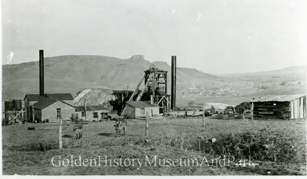
Because of the vertical coal seam, the mining technique was to bore a vertical shaft down through or just adjacent to the seam utilizing a crosscut. The coal was then recovered by digging lateral, horizontal adits (tunnels with one end) at various levels of the shaft in both directions following the coal seam. The shaft depth and lateral mining along the seams was more extensive at the New Loveland Mine than at the New White Ash Mine. Therefore the boundary of the subsidence hazard area at New Loveland is greater than at New White Ash.
When mining finally ceased around 1900, voids were left in the seams where the coal was removed. Over time, the roof and sidewalls of the mined areas could gradually collapse into the voided areas. This could cause the potential for subsidence at the surface. During development of Mountain Ridge/Canyon Point in the early 1990s, the maximum possible horizontal extent of this subsidence at the surface was carefully and conservatively calculated by engineering geologists. The boundaries of these areas became the minimum boundaries of the two parks.

