by Paul Haseman
U.S. Hwy 6 across America has a long history but Golden’s section of the road from the intersection at Colfax/US 40 to Hwy 58 and left up Clear Creek Canyon makes for a far shorter tale.
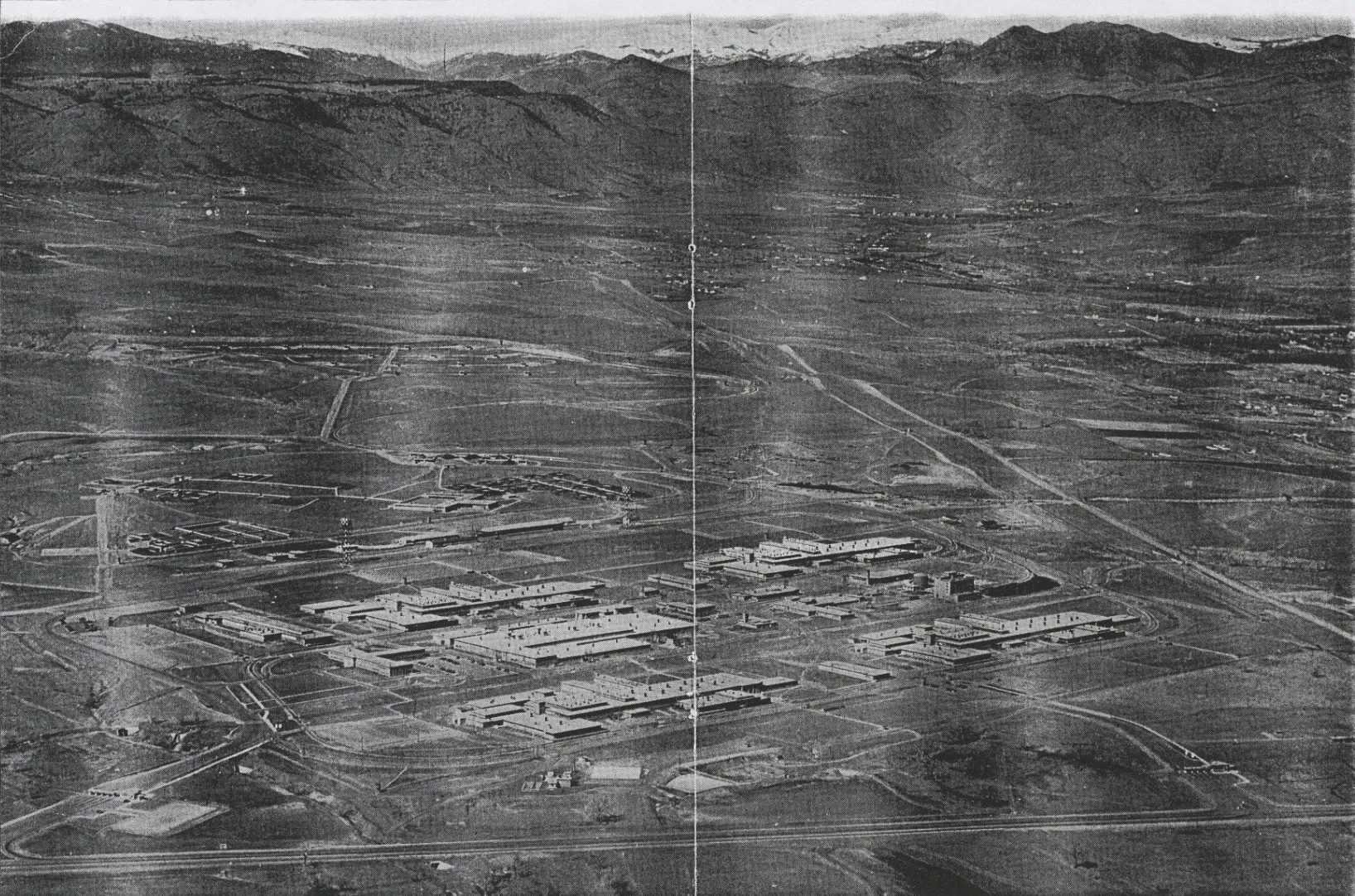
As background, early US 6 / 6th Ave west of Denver was formerly an unpaved two-lane road to the Remington Arms Factory (now the Denver Federal Center). In 1941, Hwy 6 became the first four-lane paved road in Colorado in order to transport supplies and munitions to and from the factory. From there it was later extended to intersect with US 40/Colfax (near the Marine Memorial/Home Depot). And in 1950 plans were afoot to keep it headed northwest from Colfax along the western boundary of Golden. Good news for Golden, but not so good news for the School of Mines.

As reported by the Mines Oredigger, on 7 March 1950, the new alignment of Hwy 6 would cut right through 80 homes recently constructed homes for student veterans after WWII requiring, the movement of 80 buildings. These homes, known as Prospector Park, were to the north of now 19th Street on the west side of campus. What to do? What to do?
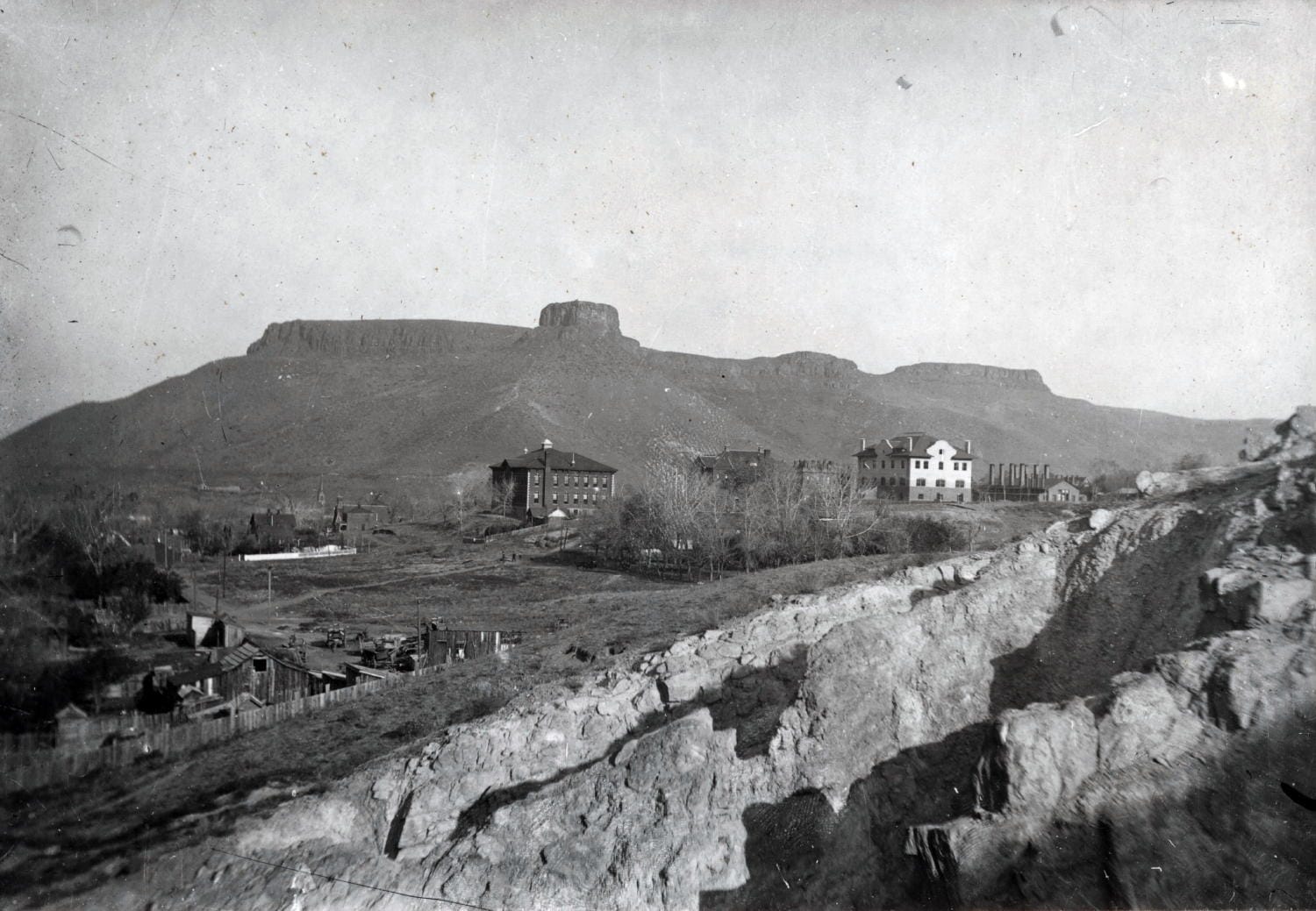
Well, a shiny white knight in the form of William G “Bill” Parfet had a solution. The Parfet family had been mining clay on the west side of the Mines campus since 1877 including, further east, its Rockwell Mine. This clay mining involved deep trenches between vertical sandstone “fins” in the Laramie Formation. As told by his son “Chip,” dad Bill Parfet told the Highway Department that even with “reclamation” by refilling the trenches, the planned roadbed would be susceptible to subsidence and be unstable. Parfet convinced the Highway Department to move the alignment 100 yards west to more stable ground. Phew!
His helpful persuasion saved the day. The Veterans’ housing remained and later the current Mines intramural fields along Elm Street and “Greek” house beyond would become part of the Mines campus. Of course, this Mines addition would not occur until the later gift by Parfet to Mines in 1964 of his Ruby Clay Mine in exchange for Mines-provided clay mining acreage further east. This easterly acreage became Parfet’s Rubey Standard Mine. This new mining land and Rockwell Mine became part of the Fossil Trace Golf Course, opened in 2003.
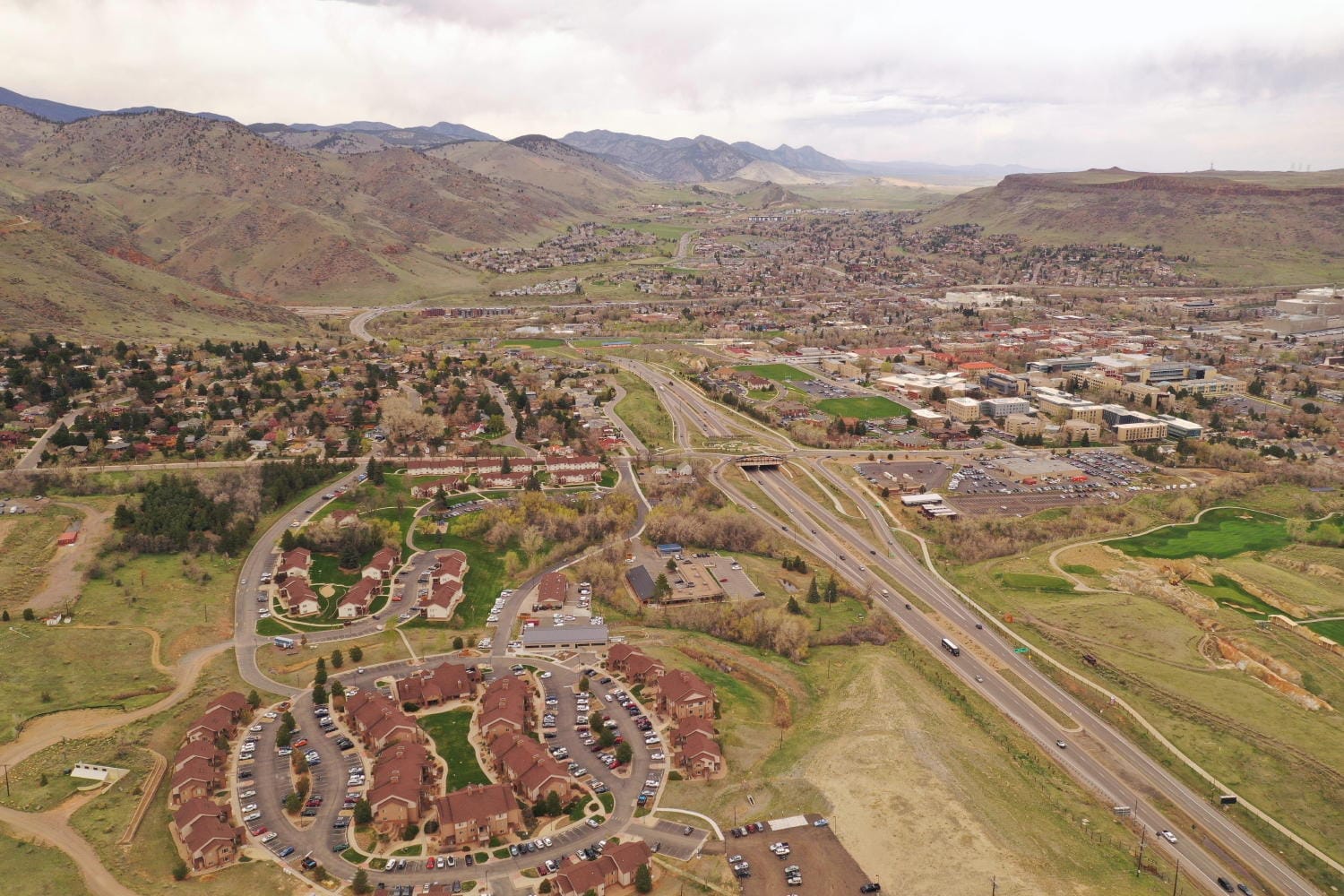
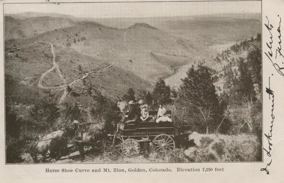
Meanwhile, Hwy 6 meandered down the hill, still on the west side of Mines toward Clear Creek, which required two 200-foot bridges over the Creek and the Church Ditch. Here Hwy 6 took a sharp left turn up the canyon following in large part the former Colorado Central Railbed to Idaho Springs with the addition of several tunnels. Work on the canyon section had begun as early as 1933 but could not become truly feasible until the last train went through the canyon on 4 May 1941. At this point, WWII stopped construction and after the war Hwy 6 construction up the canyon was renewed with the road finally opening on 22, June 1952.

Thank you, Bill Parfet.
Many thanks to Esther Kettering for sponsoring Golden History Moments for the month of August.


